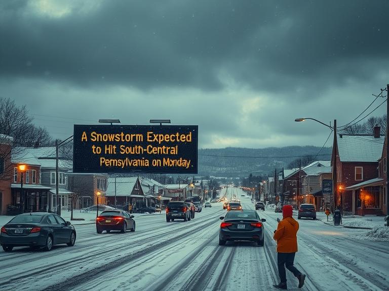
A Snowstorm is Expected to Hit South-Central Pennsylvania on Monday.: A significant winter storm is forecasted to impact South-Central Pennsylvania on Monday, bringing heavy snowfall, strong winds, and potential travel disruptions. Residents in areas such as Harrisburg, York, Lancaster, and Gettysburg should prepare for hazardous conditions.
This guide provides essential information on the storm’s expected impact, safety tips, and how to stay updated.
Table of Contents
Storm Forecast & Expected Impact
When Will the Snowstorm Hit?
- Start Time: Snow is expected to begin early Monday morning (likely between 4-7 AM).
- Peak Intensity: Heaviest snowfall anticipated Monday afternoon into evening.
- End Time: Snow should taper off by late Monday night or early Tuesday.
How Much Snow Will South-Central PA Get?
- General Accumulation: 6-12 inches across most of the region.
- Higher Elevations: Some areas (like the Appalachian foothills) could see 12+ inches.
- Snowfall Rates: 1-2 inches per hour at the storm’s peak, reducing visibility.
Additional Hazards
- Strong Winds: Gusts up to 30-40 mph, causing blowing/drifting snow.
- Reduced Visibility: Near-whiteout conditions possible during heavy snowfall.
- Power Outages: Wet snow + wind may bring down tree limbs and power lines.
Pre-Storm Preparation Checklist
1. For Your Home
- Stock up on essentials (food, water, medications, batteries).
- Charge devices (phones, flashlights, portable chargers).
- Check heating systems (ensure furnaces and generators work).
- Prevent frozen pipes (let faucets drip, insulate exposed pipes).
2. For Your Vehicle
- Winterize your car (check antifreeze, battery, wiper fluid).
- Pack an emergency kit (blankets, shovel, snacks, jumper cables).
- Keep the gas tank at least half full (prevents fuel line freezing).
3. For Travel
- Avoid unnecessary trips during the storm’s peak.
- Check road conditions via 511PA.com or PennDOT alerts.
- If driving is unavoidable, inform someone of your route.
During the Storm: Safety Tips
At Home
- Stay indoors during heavy snowfall and high winds.
- Use generators safely (outdoors only, away from windows).
- Monitor local news/weather alerts for updates.
If You Must Travel
- Drive slowly and increase following distance.
- Avoid sudden braking to prevent skidding.
- If stranded, stay in your car and call for help.
For Pet Owners
- Limit outdoor time for pets—frostbite is a risk.
- Wipe paws after walks (salt and ice melt can be harmful).
Post-Storm Recovery
Snow Removal Tips
- Shovel early & often (heavy snow is harder to move later).
- Avoid overexertion (heart attacks are a major risk during shoveling).
- Help elderly/disabled neighbors if possible.
Power Outage Response
- Report outages to your utility provider immediately.
- Use flashlights, not candles (fire risk).
- Keep fridge/freezer closed to preserve food.
FAQs About the Upcoming Snowstorm
1. Which counties are under winter storm warnings?
- Likely affected: Dauphin, York, Lancaster, Cumberland, Adams, Franklin.
- Check the National Weather Service (NWS) for official alerts.
2. Will schools and businesses close?
- Many schools and offices may announce closures/delays by Sunday night.
- Monitor local district websites for updates.
3. How can I track the storm in real time?
- NWS State College (weather.gov/ctp)
- Local news stations (WGAL, ABC27, Fox43)
- PennDOT’s 511PA traffic cameras
4. Is this a nor’easter?
- This storm has some nor’easter-like traits (moisture from the Atlantic, strong winds) but is not a classic nor’easter.
5. Can I use my grill indoors if the power goes out?
- NO! Grills/portable heaters indoors cause carbon monoxide poisoning.
6. How long will cleanup take?
- Main roads may be cleared by Tuesday, but side streets could take longer.
Final Advice
This storm could be one of the season’s most disruptive for South-Central PA. By preparing now, you can stay safe and minimize inconvenience.
Key Takeaways:
✅ 6-12″ of snow + strong winds expected Monday.
✅ Avoid travel during the storm’s peak.
✅ Prepare for possible power outages.
✅ Check on vulnerable neighbors.
Stay updated via NWS and local authorities, and share this guide with others who may need it!
Did You Know?
- South-Central PA’s highest single-storm snowfall record is 30 inches (1993).
- “Thundersnow” (snow with lightning) is rare but possible in intense storms.
(Note: Forecasts can change. Verify details with the National Weather Service as the storm approaches.)

